ਤਸਵੀਰ:Canada Saskatchewan location map.svg

Size of this PNG preview of this SVG file: 486 × 599 ਪਿਕਸਲ. ਹੋਰ ਰੈਜ਼ੋਲਿਊਸ਼ਨਜ਼: 195 × 240 ਪਿਕਸਲ | 389 × 480 ਪਿਕਸਲ | 623 × 768 ਪਿਕਸਲ | 831 × 1,024 ਪਿਕਸਲ | 1,662 × 2,048 ਪਿਕਸਲ | 1,512 × 1,863 ਪਿਕਸਲ.
ਅਸਲ ਫ਼ਾਈਲ (SVG ਫ਼ਾਈਲ, ਆਮ ਤੌਰ ’ਤੇ 1,512 × 1,863 ਪਿਕਸਲ, ਫ਼ਾਈਲ ਦਾ ਅਕਾਰ: 720 KB)
ਸਾਰ
| ਵੇਰਵਾ |
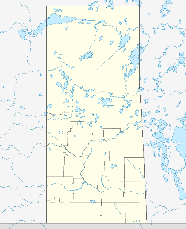
Quadratische Plattkarte, N-S-Streckung 170 %. Geographische Begrenzung der Karte:
Equirectangular projection, N/S stretching 170 %. Geographic limits of the map:
|
| ਮਿਤੀ | |
| ਸਰੋਤ |
ਆਪਣਾ ਕੰਮ, using
|
| ਲਿਖਾਰੀ | NordNordWest |
| ਇਜਾਜ਼ਤ (ਇਸ ਫ਼ਾਈਲ ਦੀ ਮੁੜਵਰਤੋਂ ਕਰੋ) |
I, the copyright holder of this work, hereby publish it under the following license: ਇਸ ਫ਼ਾਈਲ ਦਾ ਲਸੰਸ ਕ੍ਰਿਏਟਿਵ ਕਾਮਨਜ਼ ਐਟ੍ਰੀਬਿਊਸ਼ਨ-ਸ਼ੇਅਰ ਅਲਾਈਕ 3.0 ਅਨਪੋਰਟੇਡ ਹੈ।
|
| Other versions |
|


|
This map has been made or improved in the German Kartenwerkstatt (Map Lab). You can propose maps to improve as well.
|
ਫ਼ਾਈਲ ਦਾ ਅਤੀਤ
ਤਾਰੀਖ/ਸਮੇਂ ’ਤੇ ਕਲਿੱਕ ਕਰੋ ਤਾਂ ਉਸ ਸਮੇਂ ਦੀ ਫਾਈਲ ਪੇਸ਼ ਹੋ ਜਾਵੇਗੀ।
| ਮਿਤੀ/ਸਮਾਂ | ਨਮੂਨਾ | ਨਾਪ | ਵਰਤੋਂਕਾਰ | ਟਿੱਪਣੀ | |
|---|---|---|---|---|---|
| ਮੌਜੂਦਾ | 13:30, 26 ਅਗਸਤ 2009 | | 1,512 × 1,863 (720 KB) | NordNordWest | {{int:filedesc}} {{Information |Description= {{de|Positionskarte von Saskatchewan, Kanada}} Quadratische Plattkarte, N-S-Streckung 170 %. Geographische Begrenzung der Karte: * N: 60.3° N * S: 48.7° N * W: 114.0° W * |
ਫ਼ਾਈਲ ਦੀ ਵਰਤੋਂ
ਇਸ ਫ਼ਾਈਲ ਦੀ ਵਰਤੋਂ ਕਰਨ ਵਾਲੇ ਕੋਈ ਪੰਨੇ ਨਹੀਂ ਹਨ।
ਫ਼ਾਈਲ ਦੀ ਵਿਆਪਕ ਵਰਤੋਂ
ਇਸ ਫ਼ਾਈਲ ਨੂੰ ਹੋਰ ਹੇਠ ਲਿਖੇ ਵਿਕੀ ਵਰਤਦੇ ਹਨ:
- af.wikipedia.org ਉੱਤੇ ਵਰਤੋਂ
- ar.wikipedia.org ਉੱਤੇ ਵਰਤੋਂ
- azb.wikipedia.org ਉੱਤੇ ਵਰਤੋਂ
- ban.wikipedia.org ਉੱਤੇ ਵਰਤੋਂ
- ba.wikipedia.org ਉੱਤੇ ਵਰਤੋਂ
- be-tarask.wikipedia.org ਉੱਤੇ ਵਰਤੋਂ
- bg.wikipedia.org ਉੱਤੇ ਵਰਤੋਂ
- ceb.wikipedia.org ਉੱਤੇ ਵਰਤੋਂ
- cs.wikipedia.org ਉੱਤੇ ਵਰਤੋਂ
- Šablona:LocMap Saskatchewan
- La Ronge (Saskatchewan)
- Beauval (Saskatchewan)
- Île-à-la-Crosse (Saskatchewan)
- Jans Bay (Saskatchewan)
- Goodsoil (Saskatchewan)
- Dorintosh (Saskatchewan)
- Pierceland (Saskatchewan)
- Glaslyn (Saskatchewan)
- Invermay (Saskatchewan)
- Sheho (Saskatchewan)
- Margo (Saskatchewan)
- Tuffnell (Saskatchewan)
- Glenside (Saskatchewan)
- Broderick (Saskatchewan)
- Macrorie (Saskatchewan)
- Hawarden (Saskatchewan)
- Loreburn (Saskatchewan)
- Elbow (Saskatchewan)
- Mistusinne (Saskatchewan)
- Dinsmore (Saskatchewan)
- Conquest (Saskatchewan)
- Paddockwood (Saskatchewan)
- Meath Park (Saskatchewan)
- Weirdale (Saskatchewan)
- Choiceland (Saskatchewan)
- de.wikipedia.org ਉੱਤੇ ਵਰਤੋਂ
ਇਸ ਫ਼ਾਈਲ ਦੀ ਹੋਰ ਵਿਆਪਕ ਵਰਤੋਂ ਵੇਖੋ।