ਤਸਵੀਰ:India Gujarat location map.svg

Size of this PNG preview of this SVG file: 755 × 599 ਪਿਕਸਲ. ਹੋਰ ਰੈਜ਼ੋਲਿਊਸ਼ਨਜ਼: 303 × 240 ਪਿਕਸਲ | 605 × 480 ਪਿਕਸਲ | 968 × 768 ਪਿਕਸਲ | 1,280 × 1,016 ਪਿਕਸਲ | 2,560 × 2,032 ਪਿਕਸਲ | 1,173 × 931 ਪਿਕਸਲ.
ਅਸਲ ਫ਼ਾਈਲ (SVG ਫ਼ਾਈਲ, ਆਮ ਤੌਰ ’ਤੇ 1,173 × 931 ਪਿਕਸਲ, ਫ਼ਾਈਲ ਦਾ ਅਕਾਰ: 651 KB)
ਸਾਰ
| ਵੇਰਵਾ |
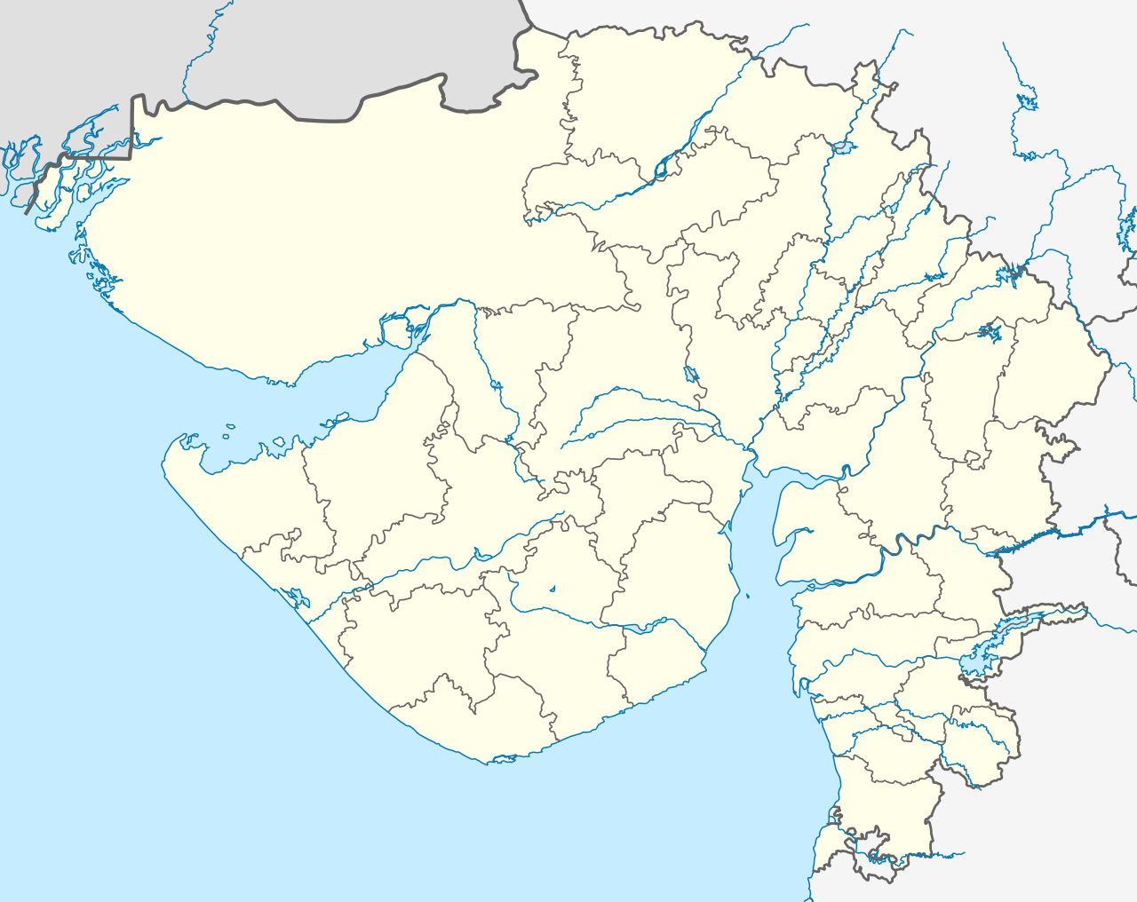
Deutsch: Postionskarte von Gujarat mit der Verwaltungsgliederung seit 15.08.2013
English: location map of Gujarat with the administrative divisions since August 15, 2013
Quadratische Plattkarte. Geographische Begrenzung der Karte:
English: Location map of Gujarat
Equirectangular projection. Geographic limits of the map:
|
||
| ਮਿਤੀ | see file history | ||
| ਸਰੋਤ | ਆਪਣਾ ਕੰਮ | ||
| ਲਿਖਾਰੀ | Maximilian Dörrbecker (Chumwa) | ||
| ਇਜਾਜ਼ਤ (ਇਸ ਫ਼ਾਈਲ ਦੀ ਮੁੜਵਰਤੋਂ ਕਰੋ) |
I, the copyright holder of this work, hereby publish it under the following licenses:
ਇਸ ਫ਼ਾਈਲ ਦਾ ਲਸੰਸ ਕ੍ਰਿਏਟਿਵ ਕਾਮਨਜ਼ ਐਟ੍ਰੀਬਿਊਸ਼ਨ-ਸ਼ੇਅਰ ਅਲਾਈਕ 3.0 ਅਨਪੋਰਟੇਡ ਹੈ।
ਤੁਸੀਂ ਆਪਣੀ ਮਰਜ਼ੀ ਦਾ ਲਸੰਸ ਚੁਣ ਸਕਦੇ ਹੋ। |
||
| Other versions |
|


.svg)


|
This map has been made or improved in the German Kartenwerkstatt (Map Lab). You can propose maps to improve as well.
|
ਫ਼ਾਈਲ ਦਾ ਅਤੀਤ
ਤਾਰੀਖ/ਸਮੇਂ ’ਤੇ ਕਲਿੱਕ ਕਰੋ ਤਾਂ ਉਸ ਸਮੇਂ ਦੀ ਫਾਈਲ ਪੇਸ਼ ਹੋ ਜਾਵੇਗੀ।
| ਮਿਤੀ/ਸਮਾਂ | ਨਮੂਨਾ | ਨਾਪ | ਵਰਤੋਂਕਾਰ | ਟਿੱਪਣੀ | |
|---|---|---|---|---|---|
| ਮੌਜੂਦਾ | 03:20, 2 ਅਗਸਤ 2021 | | 1,173 × 931 (651 KB) | C1MM | Reverted to version as of 03:16, 2 August 2021 (UTC) More accurate rivers, coastline from satellite imagery - different bounds (74.62 and 24.82) |
| 03:18, 2 ਅਗਸਤ 2021 |  | 2,170 × 1,722 (261 KB) | C1MM | Reverted to version as of 20:30, 29 April 2020 (UTC) | |
| 03:16, 2 ਅਗਸਤ 2021 |  | 1,173 × 931 (651 KB) | C1MM | Changed map bounds, coastlines and rivers | |
| 20:30, 29 ਅਪਰੈਲ 2020 |  | 2,170 × 1,722 (261 KB) | C1MM | New layers | |
| 03:29, 19 ਨਵੰਬਰ 2013 |  | 2,170 × 1,722 (386 KB) | Chumwa | As of 15 August 2013, there are 33 administrative districts in the state. | |
| 13:57, 11 ਅਪਰੈਲ 2010 |  | 2,170 × 1,722 (362 KB) | Chumwa | == {{int:filedesc}} == {{Information |Description= {{de|Postionskarte von Gujarat}} Quadratische Plattkarte. Geographische Begrenzung der Karte: * N: 24°49'00" N (24.8167°N) * S: 19°57'00" N (19.9500°N) * W: 68°00'00" O (68.0000°O) * |
ਫ਼ਾਈਲ ਦੀ ਵਰਤੋਂ
ਇਹ ਫਾਈਲ ਹੇਠਾਂ ਦਿੱਤੇ 10 ਸਫ਼ੇ ਵਰਤਦੇ ਹਨ:
ਫ਼ਾਈਲ ਦੀ ਵਿਆਪਕ ਵਰਤੋਂ
ਇਸ ਫ਼ਾਈਲ ਨੂੰ ਹੋਰ ਹੇਠ ਲਿਖੇ ਵਿਕੀ ਵਰਤਦੇ ਹਨ:
- ar.wikipedia.org ਉੱਤੇ ਵਰਤੋਂ
- as.wikipedia.org ਉੱਤੇ ਵਰਤੋਂ
- azb.wikipedia.org ਉੱਤੇ ਵਰਤੋਂ
- احمدآباد (هیندوستان)
- علیپور، ناوسری
- وانالا
- ساتامبا
- سانواو
- سانوسری
- ماوجینجاوا
- ماتار, خدا
- ماتا نو ماده
- ساملایا
- سامی, قوجارات
- ساماو (هیندوستان)
- ساماترا
- سالدی (هیندوستان)
- سالانقپور, قوجارات
- واسو (هیندوستان)
- مانوند
- سایجپور
- واتامان
- لاخپات
- مانجال
- دانتا, باناسکانتا
- روپال, قاندهیناقار
- کاچهولی
- روجید (هیندوستان)
- جونا یوقلا
- جونا ساوار
- جونا جاشاپار
- رها (هیندوستان)
- آمودرا (هیندوستان)
- آمراپور, جامناقار, قوجارات
- جهودوادلی
- سونارییا
- جهیلارییا
- جاران
- جانجارییا
- راوالییاوادار
- ماموارا
- جتالواسانا
- راتنال
- راتانپار
- راسولپارا
- جارود, قوجارات
ਇਸ ਫ਼ਾਈਲ ਦੀ ਹੋਰ ਵਿਆਪਕ ਵਰਤੋਂ ਵੇਖੋ।